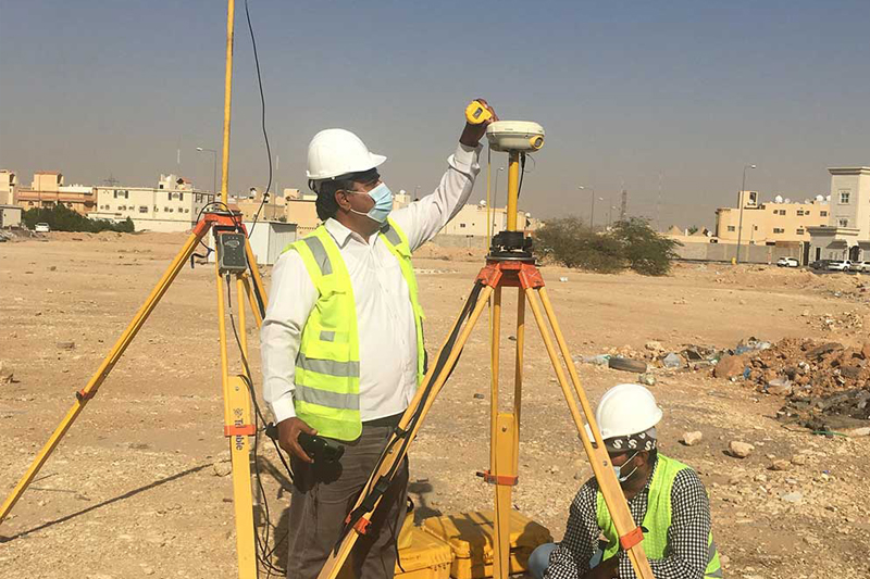
All land survey services at ROCK TOOLS are conducted by qualified and experienced surveyors using advanced survey instrumentation and software to ensure the highest levels of accuracy and reliability.
At ROCK TOOLS, we fully recognize the critical importance of survey data as a fundamental input for project design and planning. We guarantee high-quality, precise, and complete survey results through a faultless and well-defined process — from clearly identifying project objectives to professionally supervised field operations and mapping procedures. Most importantly, our work is supported by robust quality control and assurance systems implemented throughout every stage of the project.
Every deliverable we produce is rigorously checked and verified in accordance with the highest professional and industry standards.
Our Land Survey Services Include:
- Topographical surveys
- Boundary and setting-out surveys
- Road surveys and cut & fill calculations
- Quantity surveys (including stockpile measurements)
- Mine and quarry surveys
Survey Instruments and Technology:
- Topcon Total Station
- Leica Geosystems GNSS and RTK